Vector Maps
Advertisement
GISEYE Vector Converter v.1.1
GISEYE Vector Converter program for Windows is designed to convert vector data from one presentation format into another. The user has a rich functional that allows him to re-project vector maps into a wide range of available projections,
Advertisement

Flash Map One
FlashMapOne provides a most effective interactive map solutions for your project. Use FlashMapOne, you can create animated, interactive and data-driven Flash Maps for your dynamic web applications. That is a collection of vector maps are driven by XML,
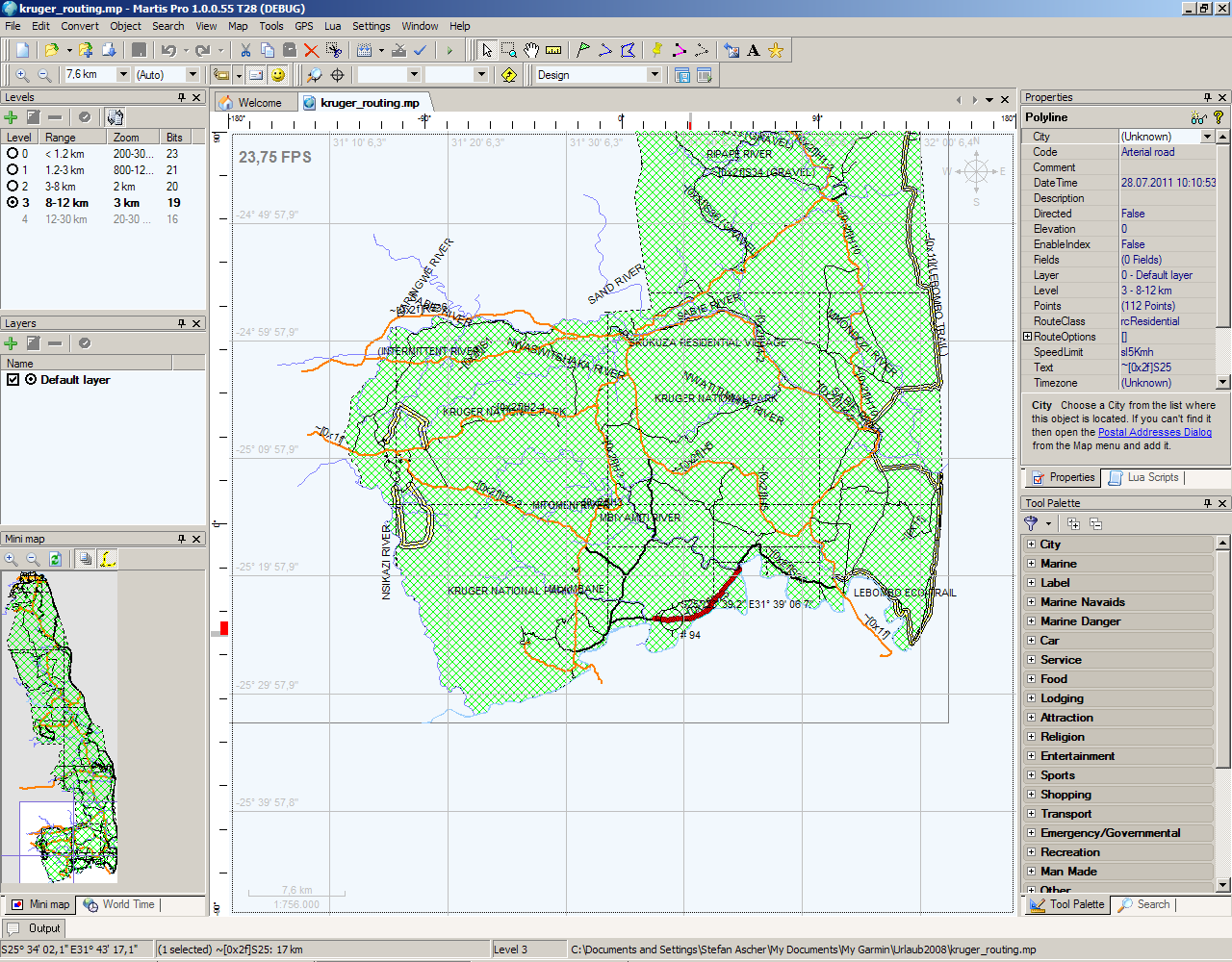
Martis Lite v.1.3.1.115
The Martis application was designed to be is a software program that lets you create and edit GPS vector maps visually with the focus on Garmin devices and maps.
SeeYou v.4 13
SeeYou is a flight planning and analysis tool for glider pilots. It is designed for both desktop and notebook PCs. Its functions before the flight allow you to plan tasks, manage waypoint lists and upload all that to the Pocket PC device.
Autodesk MapGuide SDF Loader v.6 5
You can use your existing digital (vector) maps in Autodesk MapGuide® software by converting them to Spatial Data Files (SDF). SDF is a special data format for delivering large amounts of data quickly over an intranet or the Internet.
Navit v.0.5
Navit is a car navigation system with routing engine. It's modular design is capable of using vector maps of various formats for routing and rendering of the displayed map. It's even possible to use multiple maps at a time.
SimVector v.4 6
An exceptional tool for drawing publication and vector catalog quality maps and designing cloning experiments.
Fugawi Global Navigator v.4.5.50.5002
Fugawi is a strong bitmap-to-use maps in combination with a GPS receiver. Fugawi offers the capability to calibrate with precision digital maps or scan paper maps. You can also import a large number of official or commercial mapping products.

EasyMap VCL v.2 2
EasyMap VCL is a Delphi/C++Builder components set for creating your own GIS-related solutions without MapInfo, MapX, MapObjects, WinGIS and so on. EasyMap VCL allows to add following functionalities in Delphi/C++Builder application: - MIF/MID
Avangardo ShapeView v.2.4
Avangardo ShapeView is an ESRI shape files and MapInfo interchange files viewer. Using this utility you can view *.SHP files (ESRI shape files). No *.DBF and *.DBX files are needed. Only polygonal and linear features are supported. Points will not be